We partner with municipalities to help them respond to the community’s unique challenges. We are part of these communities and through our work; we provide multiple services that enhance a community’s quality of life.
Municipal Tax Maps GIS Base Mapping
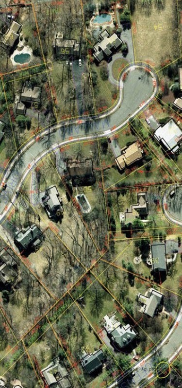
New aerial photography and planimetric mapping for a total project mapping area of 720 acres, color digital orthos in support of the Borough’s Tax Map Re-evaluation and GIS Base Mapping
PHOTOGRAMMETRIC MAPPING & ORTHOS FOR FUTURE DIGITAL TAX MAPS
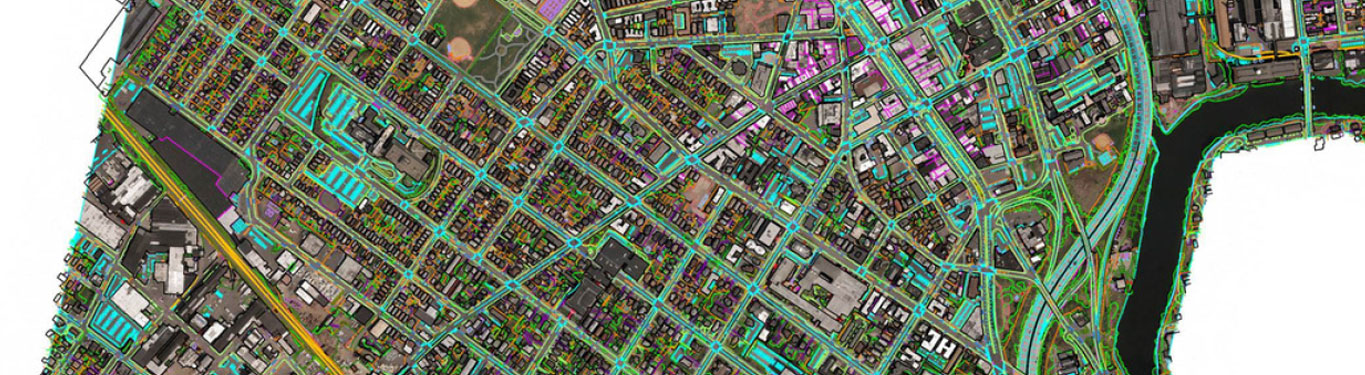
In 2013, ROBINSON (RAS) won the contract to provide new aerial photogrammetric mapping with the City to be the basis of developing the new digital tax maps to be in
Aerial Mapping Photography Services- Newark, NJ
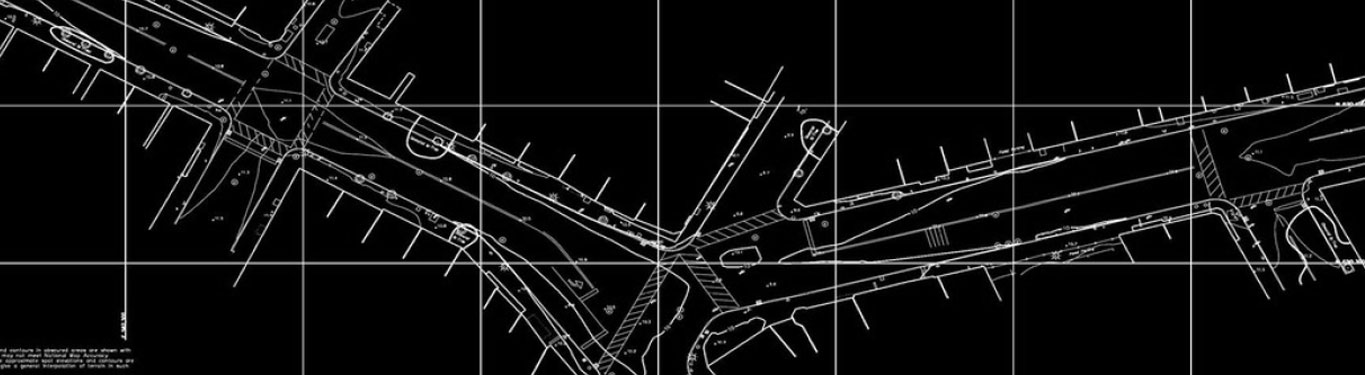
DELANCY STREET – NEWARK, NJ (CONCEPTUAL PHASE) – NEWARK, NJ RAS was contracted to obtain new black and white aerial photography, perform aero triangulation and 20-scale topographic map compilation for