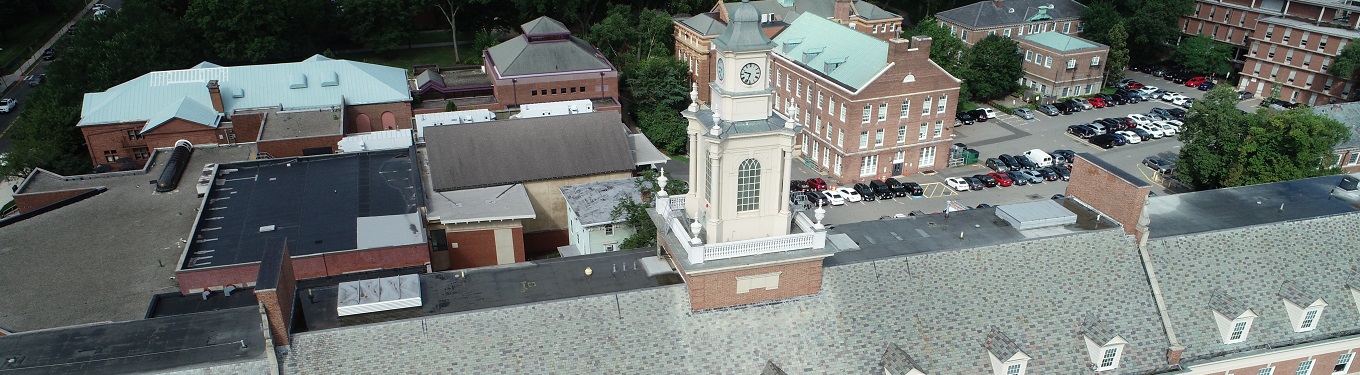
JOHNSON HALL BUILDING ROOF INSPECTION
Robinson Aerial Surveys performed a UAS (drone) survey of Johnson Hall Building in New Brunswick. The purpose of this project was to survey the roof area including the sloped slate
NJDOT Three (3) yr. Term Agreement for Aerial Photogrammetric Services – Statewide
Robinson has been awarded a three (3) yr. term agreement for Aerial Photogrammetric Services. This contract is to provide Statewide Photogrammetry and Mapping, and Related Surveying Services and Control Monumentation

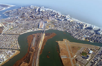
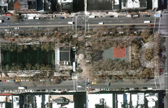
Fresh Creek Basin Project (NYCDDC) Planimetric Mapping – Brooklyn, NY
Robinson completed this project for NYCDDC as a sub-consultant. Our firm provided Aerial Survey and Mapping services for the area spanning 200 ft. along the streets in the Fresh Creek
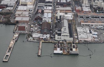
PANYNJ POST SANDY MULTI-SITE LIGHT DETECTION AND RANGING (LiDAR) SERVICES
After the Super-Storm Sandy struck the northeast coast, the Port Authority of New York and New Jersey (PANYNJ) – Central Survey Group contacted Robinson to provide Light Detection and Ranging
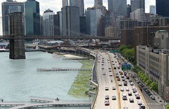
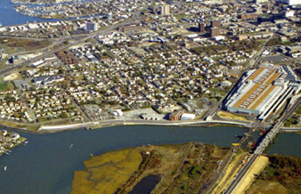
NYCEDC Southeastern Shoreline of Manhattan Mapping & Digital Ortho Photography – New York, NY
Robinson worked on this project for NYCEDC, as a sub-consultant. Our firm provided Aerial Survey and Mapping services for the area encompassing the East River shoreline to approximately 100 ft.
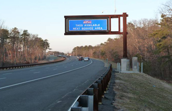
NJ Turnpike Authority Sign Replacement Phase I -New Jersey
This Project included design services for guide sign improvements on the Turnpike and Parkway in order to conform with the FHWA’s “2009 Manual on Uniform Traffic Control Devices”, including field
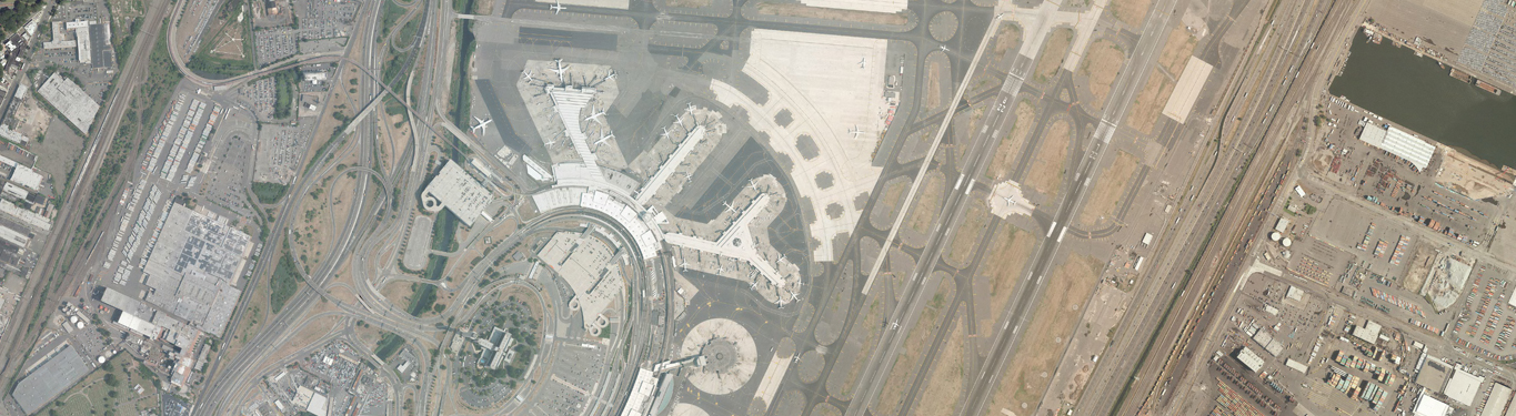
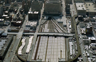
Newark Liberty International Airport Mapping Update
Robinson Aerial Surveys, Inc. (RAS) was contracted by the Port Authority of New York & New Jersey to provide update color aerial photography, update and establish new ground control, perform
John F. Kennedy International Airport Obstruction Study & Mapping
RAS was contracted by the PANY&NJ to develop an obstruction chart for John F. Kennedy International Airport (JFK) and data submission to the Federal Aviation Administration’s (FAA) Airport GIS (AGIS)
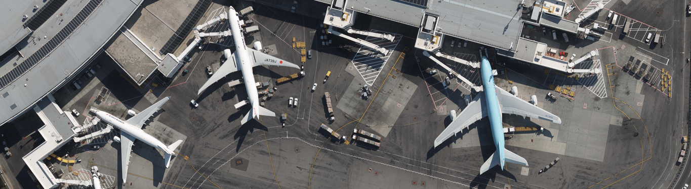
LaGuardia International Airport Mapping &Updates
Robinson Aerial Surveys, Inc. (RAS) was contracted by the Port Authority of New York & New Jersey to provide update color aerial photography, update existing and establish new ground control,
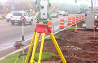
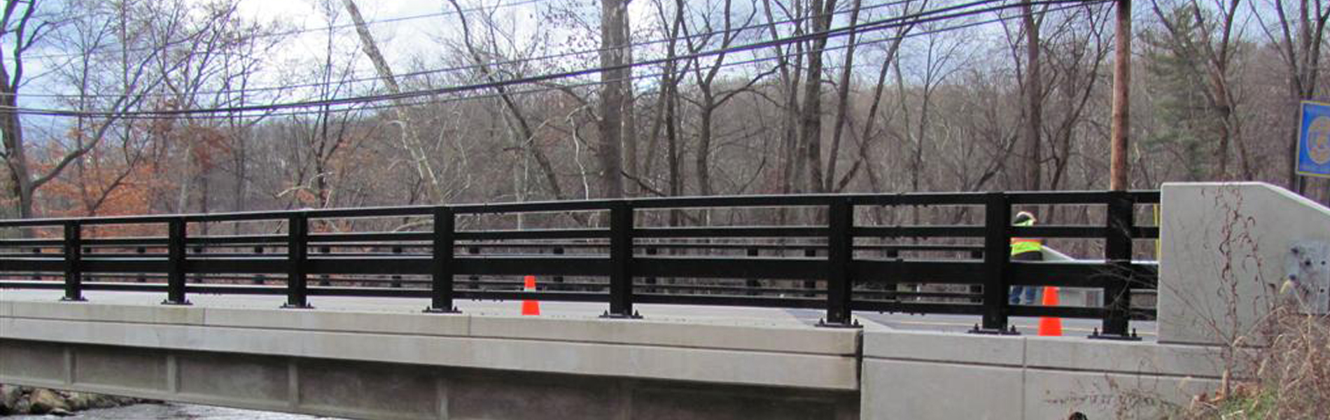
Construction stakeout and support services on two large NJDOT projects
Robinson is teaming with Conti Enterprises providing construction support services. These services include stakeout, as-built services, and deformation & settlement monitoring. The projects are expected to run through 2017.
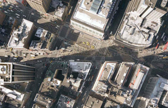
Second Avenue Subway Project
Robinson Surveys provided land surveying services for the MTA/NYCTA Second Avenue Subway Project. This project is a major $16 Billion subway project running eight miles beneath Second Avenue in Manhattan
Access to the Region’s Core (The Tunnel Project)
Access to the Region’s Core (ARC) is a passenger rail infrastructure project that would significantly expand transportation access between Manhattan and New Jersey. The centerpiece of ARC is the Access-to-the-Regionconstruction
Atlantic City Brigantine Connector
The Robinson team provided land surveying services and obtained new low altitude mapping photography (LAMP) at 1”=100’ scale to produce topographic base mapping at 1”=20’ scale with one-foot contour intervals
FEMA Survey Experience
RAS completed the field survey to support hydraulic analysis and floodplain mapping for the Federal Emergency Management Agency (FEMA), to develop a Flood Insurance Study (FIS) in Morris, Ocean, Somerset,
No. 7 Subway Line Extension
MTA/New York City Transit is extending the No. 7 Line Subway services to the area known as Far West Midtown Manhattan. This strategically located area allows for the expansion of