
Utility Project
RAS was tasked with obtaining new digital color aerial imagery and performing high precision topographic aerial mapping for this project. The aerial photography and mapping covered a 1,000 foot wide

Utility Call-In Project
General surveying services were provided to the client on an on-call basis at various energy transmission projects under their jurisdiction. RAS has executed and performed over 200 projects to date.
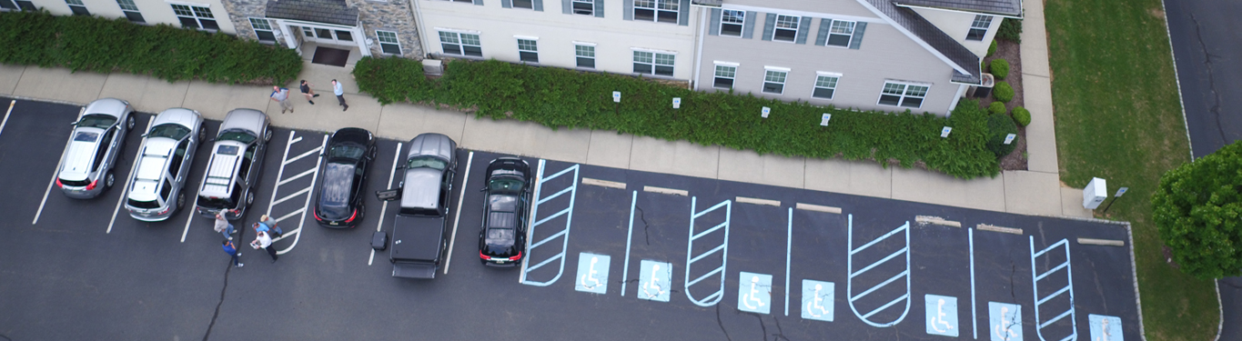
AERIAL MAPPING DRONE AND UAV TECHNOLOGY
UAV LiDAR and photogrammetry imaging applications are increasing rapidly. This is not surprising as using GPS-enabled UAVs for aerial surveying is very cost effective in comparison to hiring an aircraft
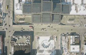
MTA No. 7 Line Subway
MTA / New York City Transit is planning to extend the No. 7 Line Subway services to the area known as Far West Midtown Manhattan. This strategically located area will
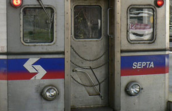
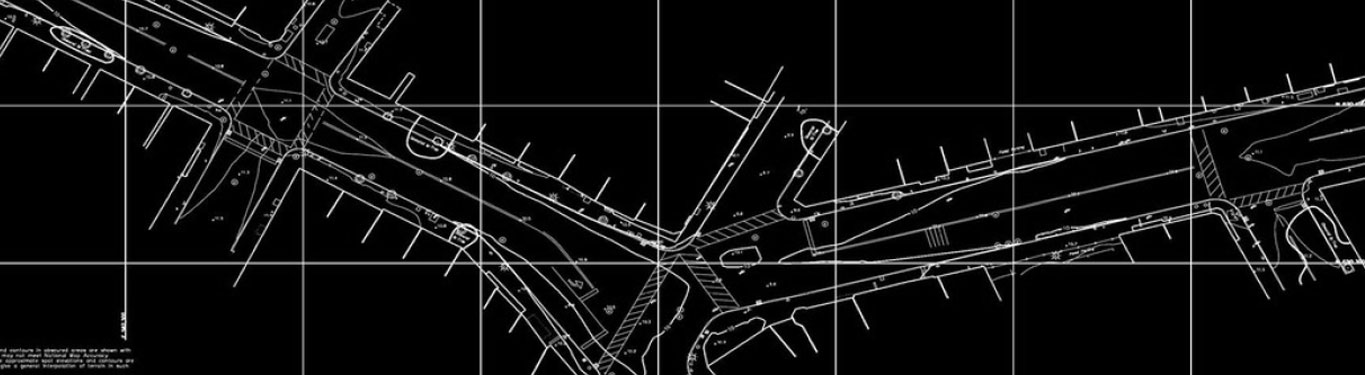
Positive Track Control (PTC) Data Acquisition and Base Mapping Services | Greater Philadelphia Area
SEPTA is installing a Positive Train Control (PTC) System on its Commuter Rail System. These project specifications called for the physical survey of all of the data and information necessary
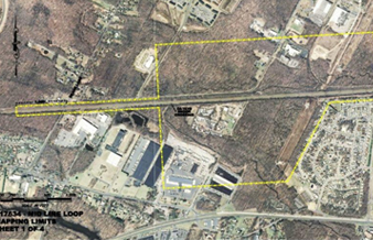
NJ Transit Mid-Line Loop Project Study New Brunswick, NJ
The existing NEC infrastructure has reached capacity during peak periods. The expanded morning peak service for trains operating between Jersey Avenue Station in New Brunswick, NJ New Jersey State Rail
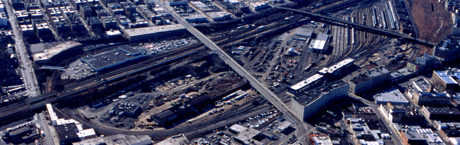
East Side Access/LIRR
Robinson Aerial Surveys, Inc. (RAS) prepared topographic base mapping for the East Side Access/LIRR Grand Central Connection Project. This project was a major $4 Billion MTA/LIRR Transportation project which will
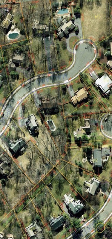
Municipal Tax Maps GIS Base Mapping
New aerial photography and planimetric mapping for a total project mapping area of 720 acres, color digital orthos in support of the Borough’s Tax Map Re-evaluation and GIS Base Mapping
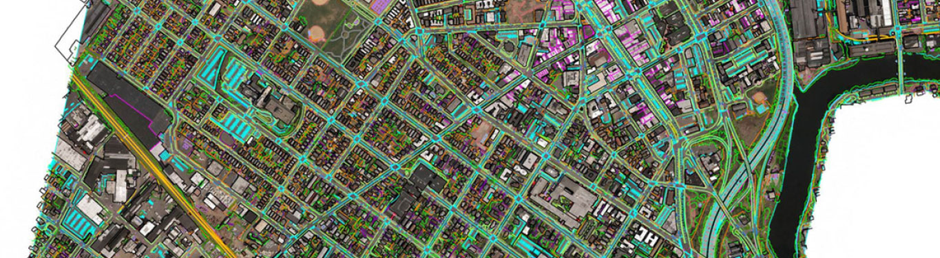
PHOTOGRAMMETRIC MAPPING & ORTHOS FOR FUTURE DIGITAL TAX MAPS
In 2013, ROBINSON (RAS) won the contract to provide new aerial photogrammetric mapping with the City to be the basis of developing the new digital tax maps to be in
Aerial Mapping Photography Services- Newark, NJ
DELANCY STREET – NEWARK, NJ (CONCEPTUAL PHASE) – NEWARK, NJ RAS was contracted to obtain new black and white aerial photography, perform aero triangulation and 20-scale topographic map compilation for
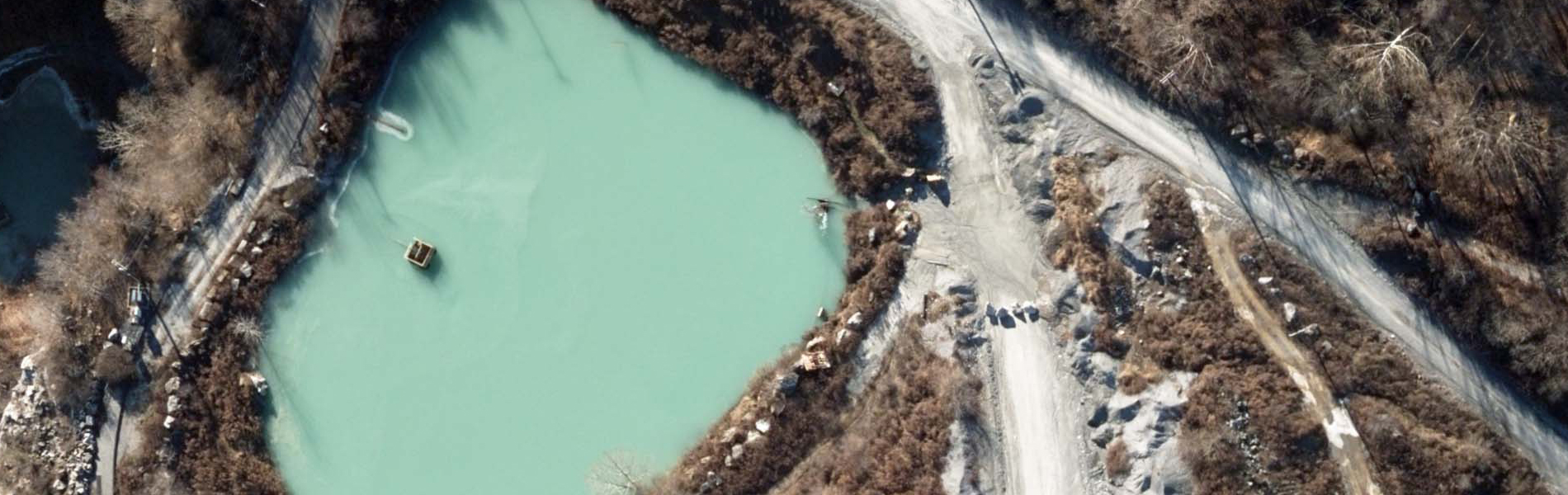
WARREN COUNTY (NJ) DISTRICT LANDFILL Oxford, New Jersey
The objective of this project was to develop topographic data suitable for analysis and submission to the New Jersey Department of Environmental Protection as directed in Permit No. 2123D I
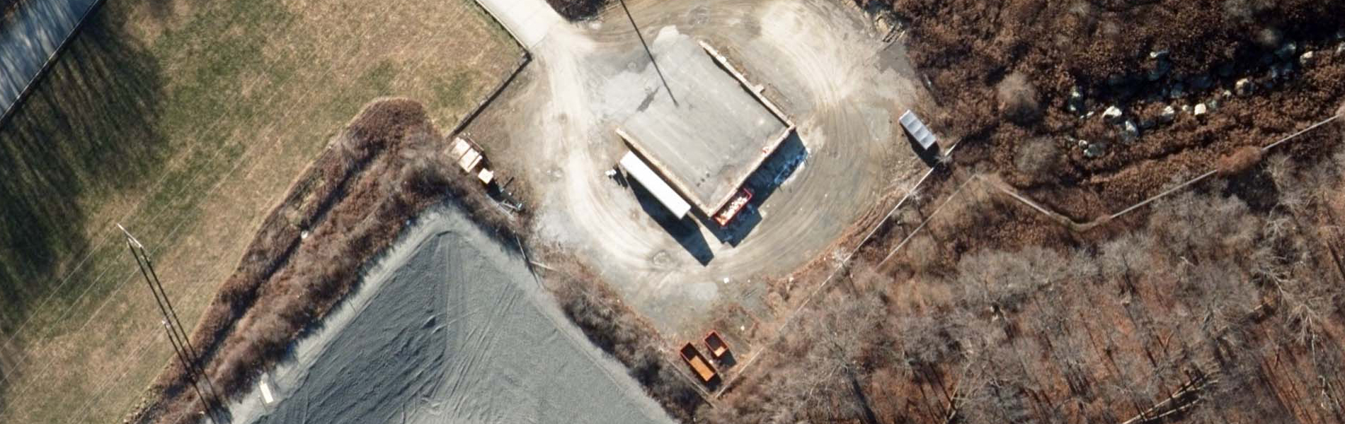
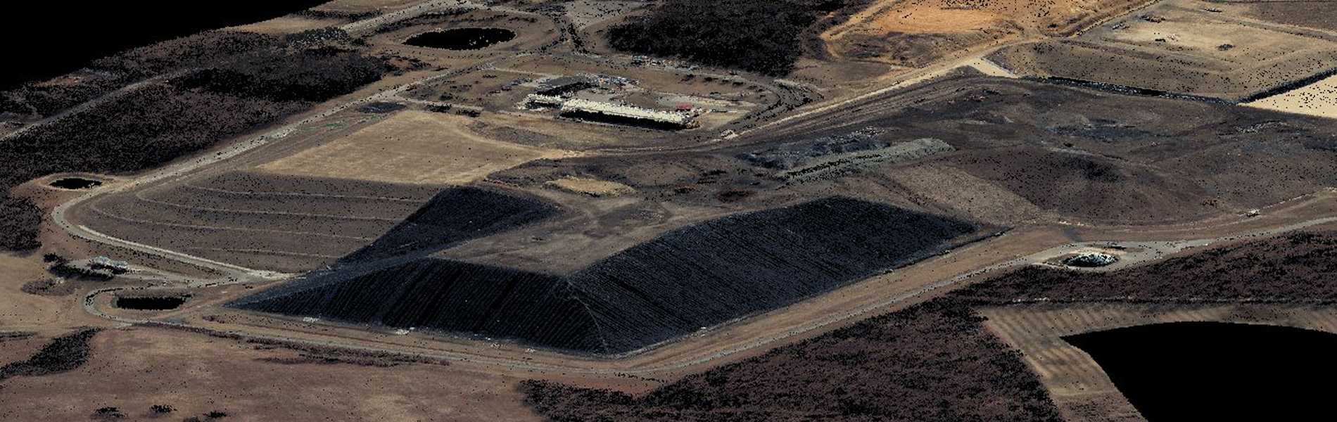
ATLANTIC CITY UTILITY AUTHORITY LANDFILL Atlantic County, New Jersey
RAS was contracted to obtain new black & white aerial mapping photography, perform aero triangulation and compile 50-scale topographic mapping with one-foot contours for approximately 225 acres of the ACUA
FEMA Survey Experience Passaic River through Essex, Passaic & Morris Counties
RAS completed the field survey to support hydraulic analysis and floodplain mapping for the Federal Emergency Management Agency (FEMA), to develop a Flood Insurance Study (FIS) in Morris, Ocean, Somerset,
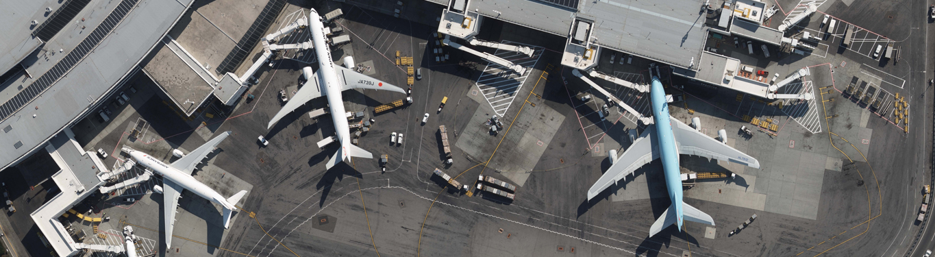
JFK International Airport Update Mapping & Obstruction Study
RAS was contracted by the PANY&NJ to develop an obstruction chart for John F. Kennedy International Airport (JFK) and data submission to the Federal Aviation Administration’s (FAA) Airport GIS (AGIS)
Multiple Landfills in New Jersey
ACUA Landfill ROBINSON was contracted to obtain new black & white aerial mapping photography, perform aero triangulation and compile 50-scale topographic mapping with one-foot contours for approximately 225 acres of