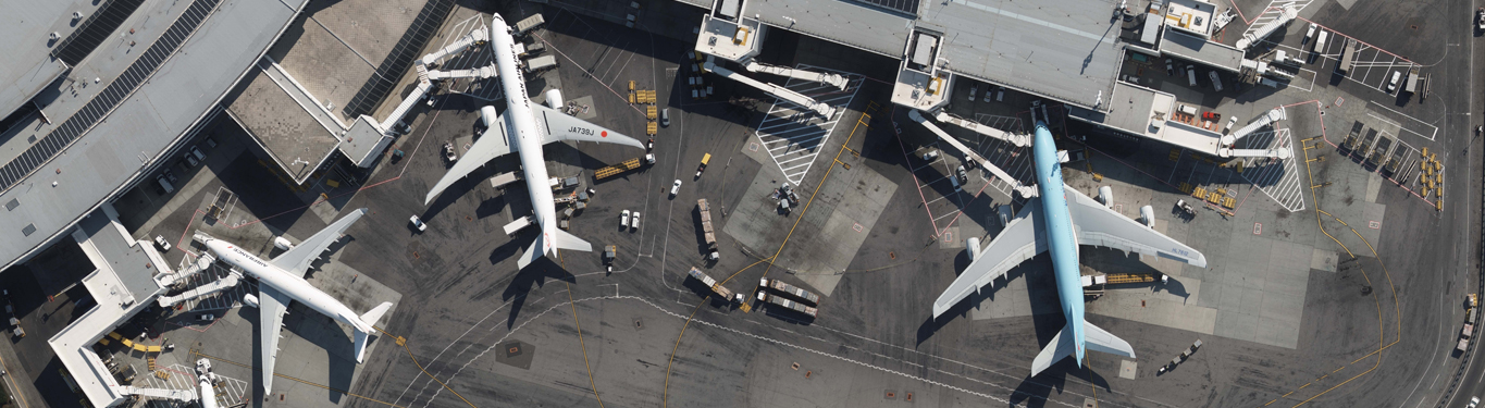
Robinson Aerial Surveys serves the aviation industry. We have a deep understanding of airport needs and possess the in-house expertise necessary to deliver a successful airport project. We are current not only with today’s requirements but also of what’s likely to happen tomorrow.
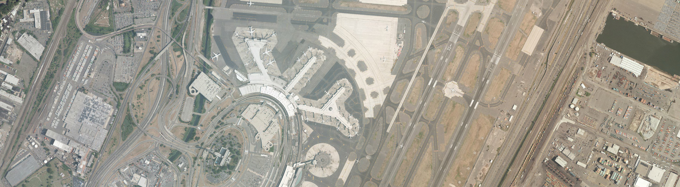
JFK International Airport Update Mapping & Obstruction Study
RAS was contracted by the PANY&NJ to develop an obstruction chart for John F. Kennedy International Airport (JFK) and data submission to the Federal Aviation Administration’s (FAA) Airport GIS (AGIS)
Newark Liberty International Airport Mapping Update Newark, New Jersey
Robinson Aerial Surveys, Inc. (RAS) was been contracted by the Port Authority of New York & New Jersey to provide update color aerial photography, update existing and establish new ground

LaGuardia International Airport Mapping &Updates Queens, NY
Robinson Aerial Surveys, Inc. (RAS) was contracted by the Port Authority of New York & New Jersey to provide update color aerial photography, update existing and establish new ground control,